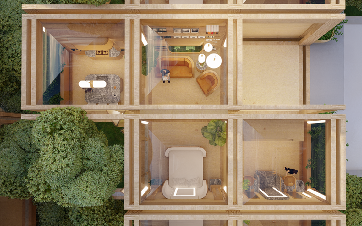
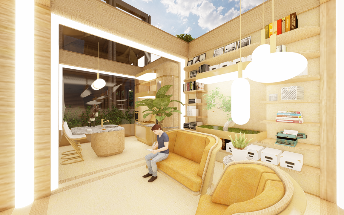
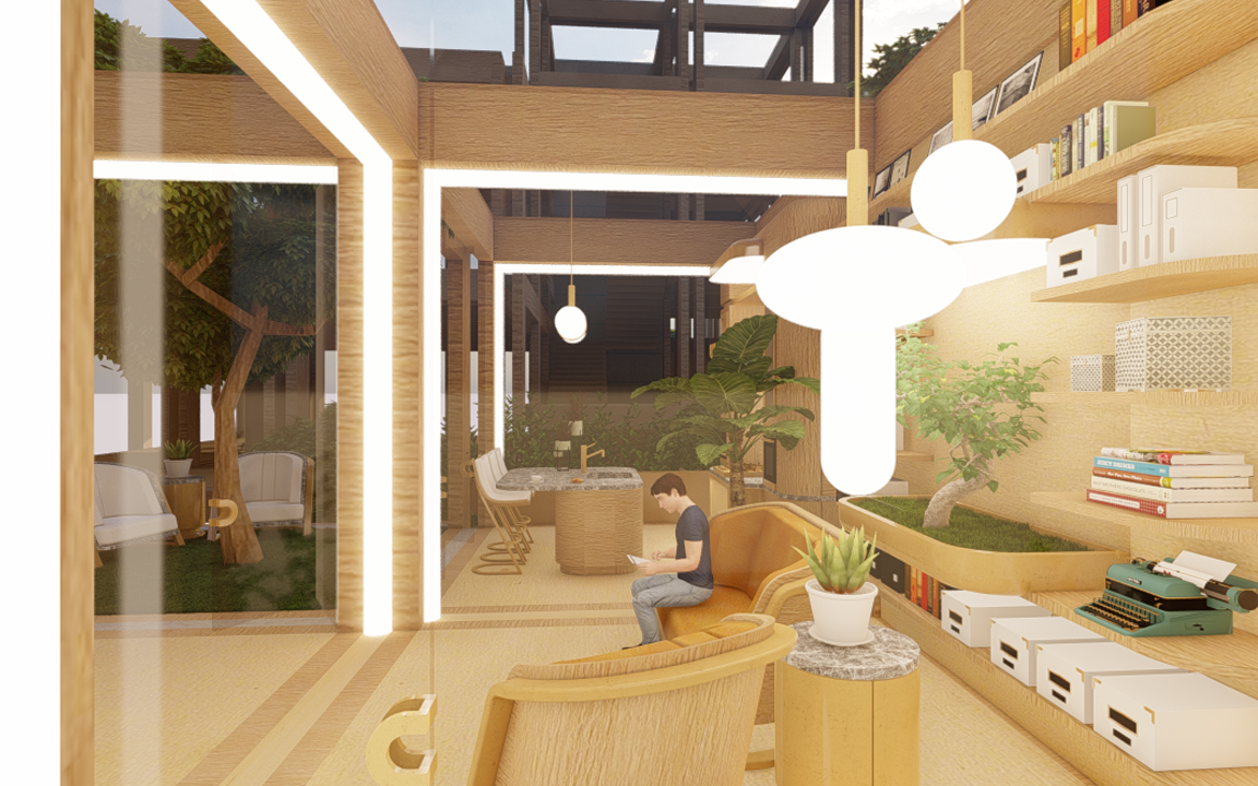
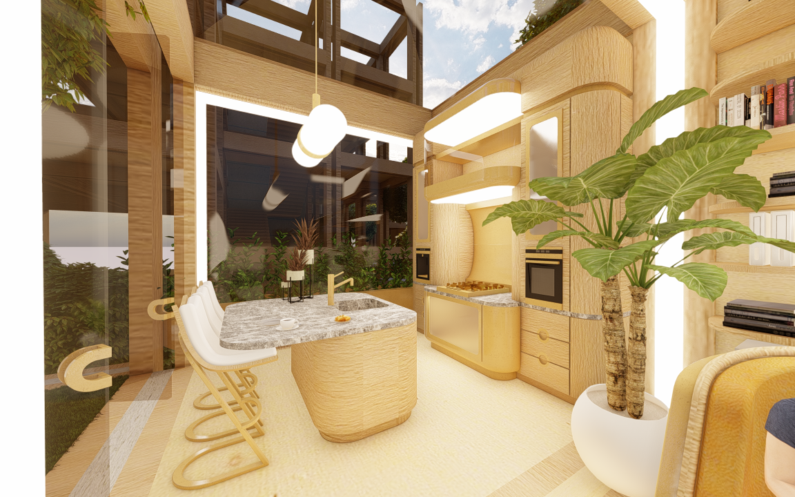
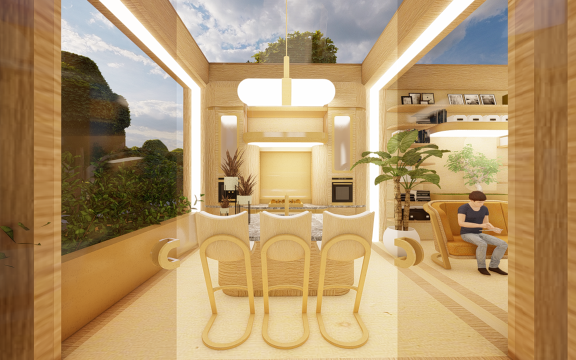
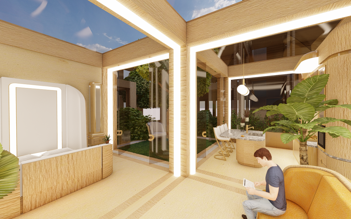
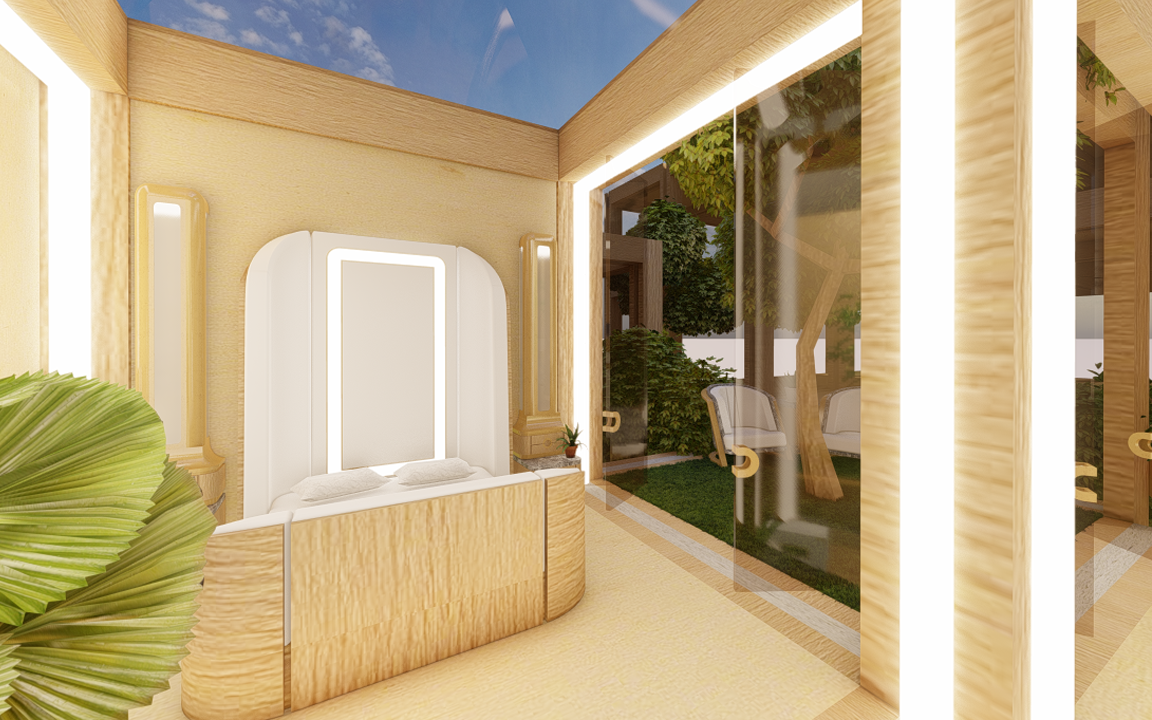
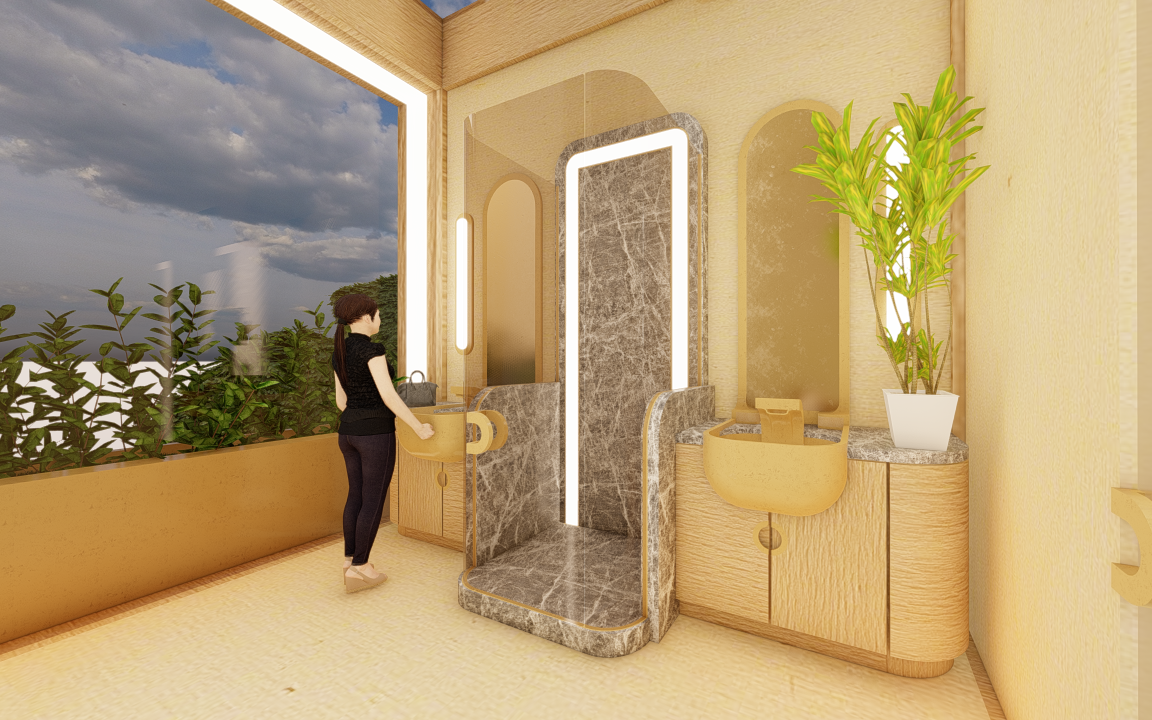
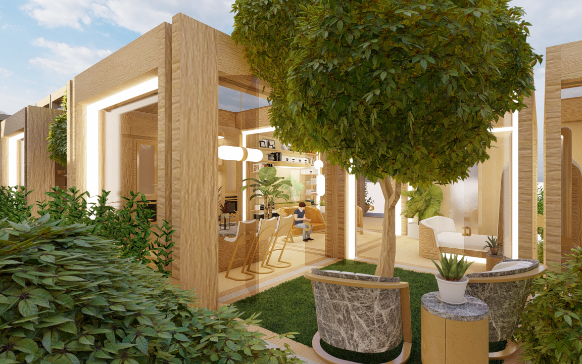
MODULAR MASS TIMBER SYSTEM
ARCHITECTURE AND URBAN DESIGN
LOCATION: UC Berkeley INSTRUCTOR: Rene Davids YEAR: 2019
TASKS: This is a proposal for a modular construction system that takes advantage of the flexibility of form offered by newly engineered wood and mass timber technologies. The doubled columns and beams increase structural stability while concealing utility conduits that interconnect. Both the building components and larger assemblies that comprise the unit types create various scales of overlapping modularities. The development is envisioned in incremental phases, to accommodate financial constraints and allow for flexibility in implementation of the construction system.
GROUND FLOOR PLAN
SECOND FLOOR PLAN
ROOF PLAN

INSTALLATION VIEW OF GIS MAPS: These maps document the research carried out to decipher and contextualize the site of our proposed intervention. Produced with GIS software and publicly-available data sets, these maps highlight the dynamic ‘flows’ that shape the site: the organic flows of water and vegetation and the man-made flows, visualized via the density of transportation routes mapped out across the site’s context. Both competing flows are erosive AND additive, leaving in their wake the ‘sediment’ of housing density (and other constructions).
INTERNATIONAL BOULEVARD TRANSIT-ORIENTED DISTRICT
NATURAL FLOWS: stream & waterway network, green spaces, and street trees
MAN-MADE FLOWS: transit-oriented district, car, train, and bus routes
SEDIMENT: housing density heat-map